A new paper authored by Geography and Tourism Studies Associate Professor, Dr. Kevin Turner, and Geography alumni Michelle Pearce and Daniel Hughes titled “Detailed Characterization and Monitoring of a Retrogressive Thaw Slump from Remotely Piloted Aircraft Systems and Identifying Associated Influence on Carbon and Nitrogen Export” has been published in Remote Sensing. This paper is open-access and available to download here.
Abstract:
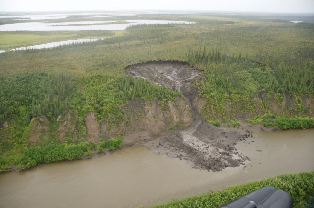
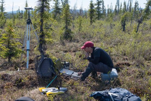
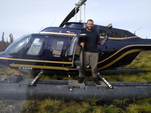
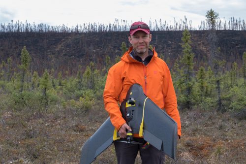
Ice-rich permafrost landscapes are sensitive to ongoing changes in climate. Permafrost retrogressive thaw slumps (RTSs) represent one of the more abrupt and prolonged disturbances, which occur along Arctic river and lake shorelines. These features impact local travel and infrastructure, and there are many questions regarding associated impacts on biogeochemical cycling. Predicting the duration and magnitude of impacts requires that we enhance our knowledge of RTS geomorphological drivers and rates of change. Here we demonstrate the utility of remotely piloted aircraft systems (RPAS) for documenting the volumetric change, associated drivers and potential impacts of the largest active RTS along the Old Crow River in Old Crow Flats, Yukon, Canada. RPAS surveys revealed that 29,174 m3 of sediment was exported during the initial evacuation in June 2016 and an additional 18,845 m3 continued to be exported until June 2019. More sediment export occurred during the warmer 2017 summer that experienced less cumulative rainfall than summer 2018. However, several rain events during 2017 were of higher intensity than during 2018. Overall mean soil organic carbon (SOC) and total nitrogen (TN) within sampled thaw slump sediment was 1.36% and 0.11%, respectively. A combination of multispectral, thermal and irradiance (derived from the RPAS digital surface model) data provided detailed classification of thaw slump floor terrain types including raised dry clay lobes, shaded and relatively stable, and low-lying evacuation-prone sediments. Notably, the path of evacuation-prone sediments extended to a series of ice wedges in the northern headwall, where total irradiance was highest. Using thaw slump floor mean SOC and TN values in conjunction with sediment bulk density and thaw slump fill volume, we estimated that 713 t SOC and 58 t TN were exported to the Old Crow River during the three-year study. Findings showcase the utility of high-resolution RPAS datasets for refining our knowledge of thaw slump geomorphology and associated impacts.
Citation:
Turner K.W., Pearce M.D., and Hughes D.D. (2021). Detailed Characterization and Monitoring of a Retrogressive Thaw Slump from Remotely Piloted Aircraft Systems and Identifying Associated Influence on Carbon and Nitrogen Export. Remote Sensing, 13(2):171. https://doi.org/10.3390/rs13020171
