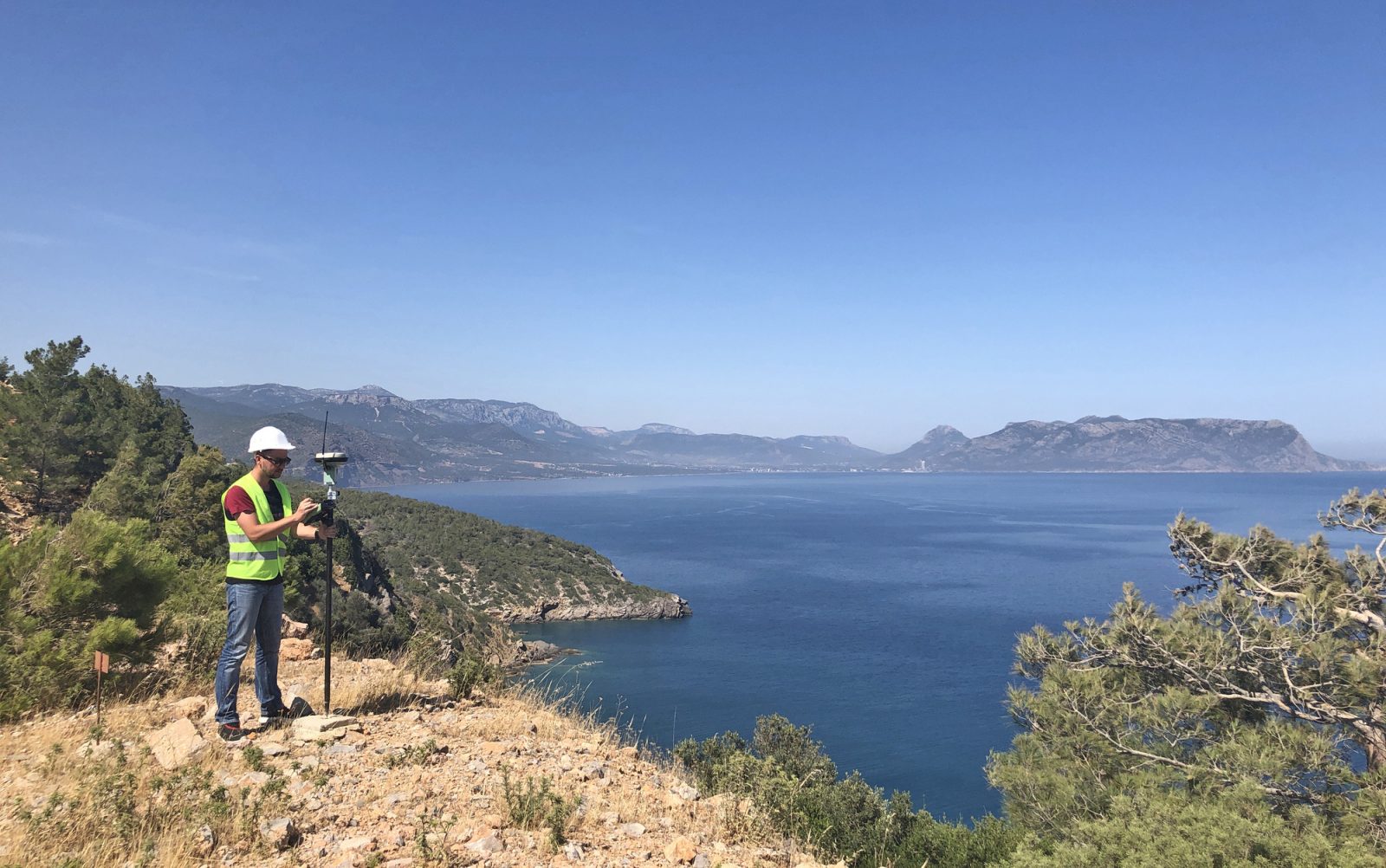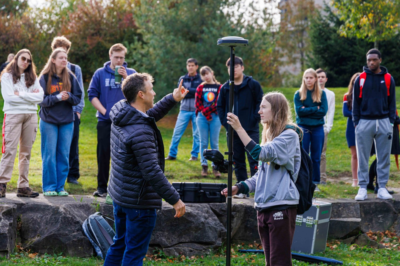
Associate Professor Kevin Turner in the Department of Geography and Tourism Studies (front left) demonstrated the use of several digital tools, including this differential global positioning system (DGPS), held by student Dallas MacArthur (front right), for his third-year Geographic Information Systems class on campus earlier this fall.
With increasing demand for data-driven decision-making, including identifying the impacts of climate and environmental change, effective use of monitoring technologies such as remote sensing and geographic information systems (GIS) is a valuable skillset.
As Geography Awareness Week continues, and Brock joins institutions from around the world in marking GIS Days, Professor Michael Pisaric hopes that students will explore the many opportunities to engage with GIS at Brock, from the resources in the Map, Data and GIS Library to the Geomatics minor offered in the Department of Geography and Tourism Studies.
Pisaric says that demand for expertise in geomatics has increased in part due to technological advances, such as incorporating artificial intelligence to support analysis and modelling.
He believes that the Geomatics minor offered by the Department of Geography and Tourism Studies supports students who want to “deploy their knowledge and skills in using geospatial technologies to address urgent problems related to climate and environmental change.”
“The United Nations estimates that 1.2 billion jobs globally depend on a stable and healthy environment in sectors such as agriculture, fisheries, forestry and tourism,” says Pisaric. “Geomatics plays a key role in each of these sectors by providing a toolset to gather, process and analyze vast amounts of spatial data to model and predict how ecosystems will respond to pressing environmental issues.”
Associate Professor of Earth Sciences Kevin Turner says that tracking spatial patterns using geomatics helps support decision-makers both locally and globally, whether the data collected pertains to environmental phenomena like deglaciation and sea level rise or to human systems like transportation networks.
He notes that students in Brock’s geomatics courses have an opportunity to apply their learning to issues and regions that matter most to them.
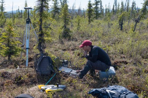
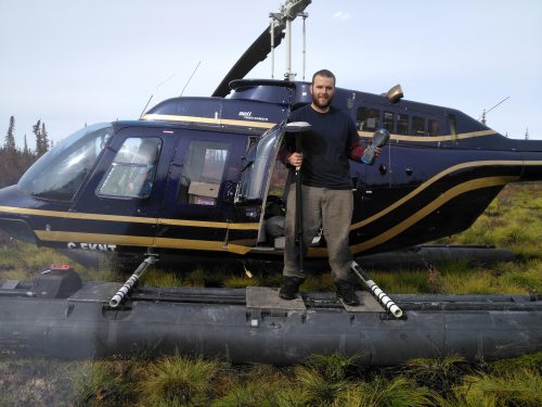
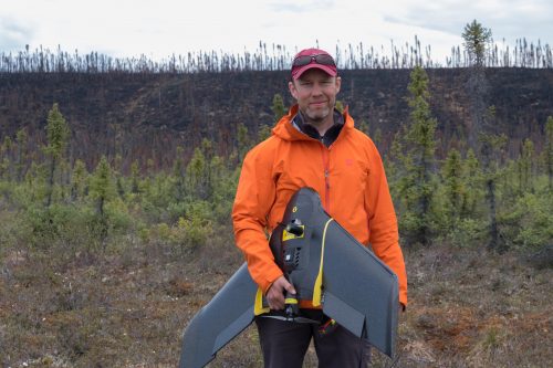
“Students can learn to utilize leading-edge software and geospatial data acquisition tools, including differential GPS, LiDAR and drones, to support their own research interests,” says Turner. “Students with this kind of training are highly sought after for employment in public and private sectors as well as academic institutions.”
Anyone interested in learning more about the Geomatics minor can learn more on the web and contact the department for more details.
Story reposted from The Brock News.