REPOSTED FROM THE BROCK NEWS
MARCH 05, 2019 | by The Brock News
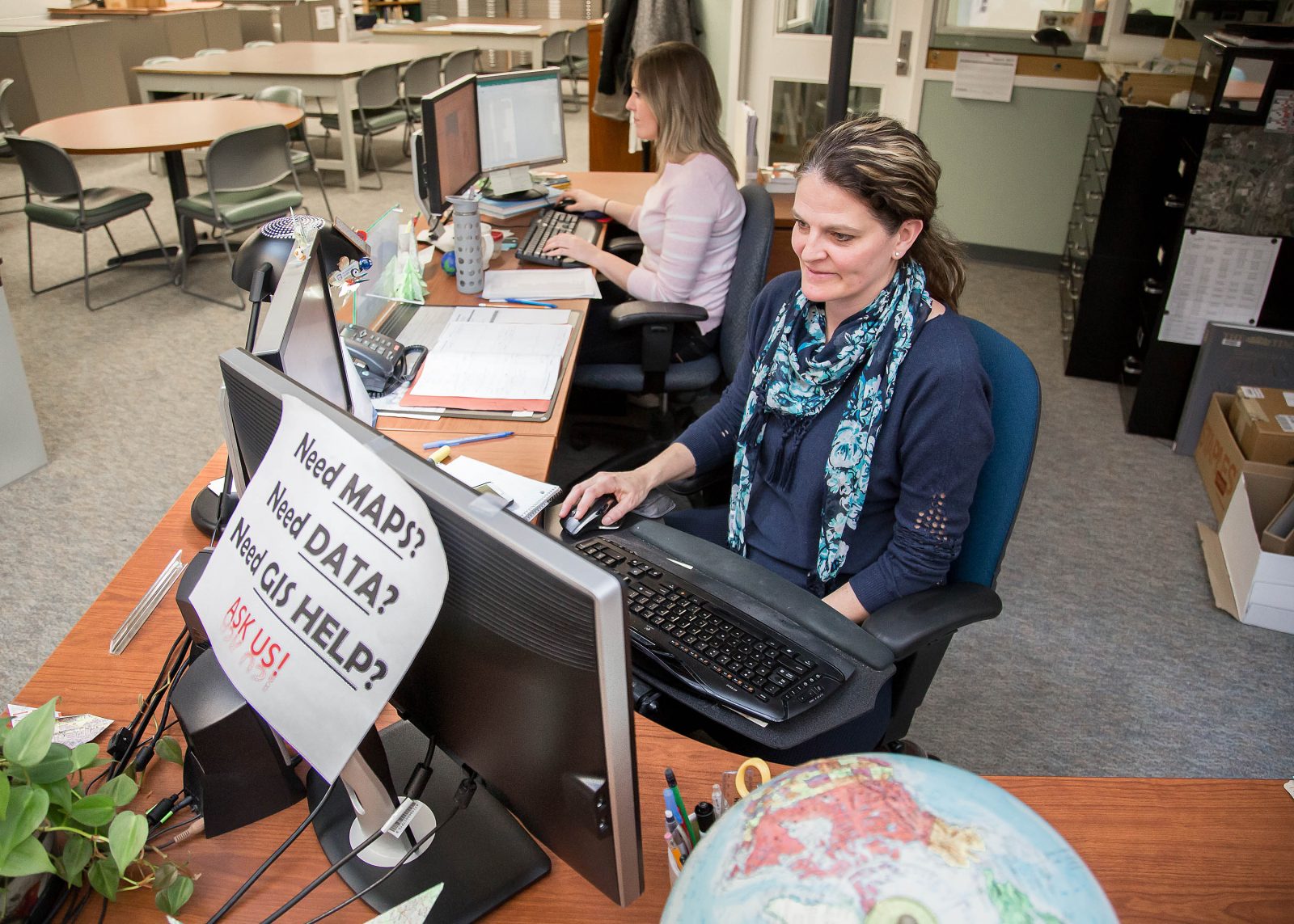 Brock’s Map, Data and GIS Library is hosting an event on Thursday, March 7 to help inform the University community of ways to use GIS software.
Whether you realize it or not, geographic information systems (GIS) are part of your everyday life.
When you plan a trip in Google Maps, you’re using GIS. When news outlets use maps to add visuals to stories, they are made through GIS.
But the software’s value doesn’t end there.
GIS is used for spatial analysis, city planning, viticulture research, environment research and sport analysis. Last year’s Esri Canada Scholarship winner from Brock, Kyle Rankin, used GIS to analyze hockey, investigating shots on goal to determine the best place to shoot from in hopes of scoring.
In an effort to help inform the Brock community of the innovative uses of GIS, the University’s Map, Data and GIS Library is hosting an event on Thursday, March 7.
Esri Canada, from whom Brock licenses its GIS software, will be at the map library (MCC 306) from 10 to 11:30 a.m. to detail various GIS uses and to answer questions from the University community.
Esri representatives will discuss both the researcher side of the software for students and faculty, looking at how GIS can support their work, and the administrative side, looking at how GIS can be used for areas such as recruitment and facilities management.
Register for the event on ExperienceBU.
