Articles tagged with: GIS Day

  • In-person, online events planned to mark GIS Day

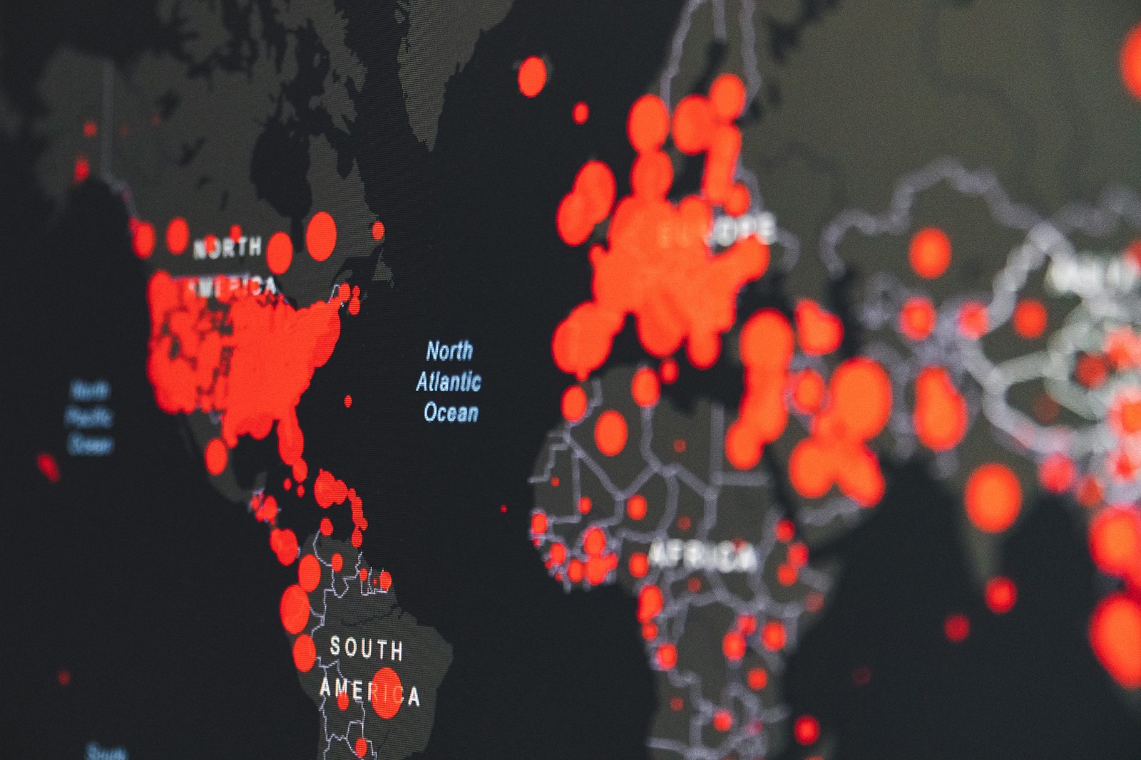
    Geographic information systems (GIS) are everywhere, with many people not understanding the extent of their use. 

    In recognition of Geography Awareness Week Monday, Nov. 14 to Friday, Nov. 18 and GIS Day on Wednesday, Nov. 16, Brock University’s Map, Data and GIS Library (MDGL) has planned several initiatives in partnership with the Tourism and Geography Society (TAGS) student group to engage the Brock community and bring awareness to the beneficial geographic tool.  

    “GIS is critical to our society and it’s important to recognize its significance in our everyday lives,” says Sharon Janzen, Map Library Associate and Geospatial Data Co-ordinator with the MDGL. “We use GIS to map directions and find hotels close to our destination. Satellite imagery helps us track storm paths of hurricanes and tornadoes and analyze changes in landscapes over time. GIS is also used in city planning, for example, to visualize the distribution of sports facilities, and in communicating public engagement, for example, by plotting online voting results by district. The uses are endless.” 

    To kick off the week, TAGS is hosting a scavenger hunt that will have participants searching for five locations across campus. Two of the spots will include geocaching, which involves participants using their mobile device as a GPS to find containers called ‘geocaches.’ Participants can enter a contest to win a prize by taking a photo of each of the five locations, sharing them via Instagram stories and tagging @brocktags by 5 p.m. Wednesday, Nov. 16. More details are available on Instagram 

    On Wednesday, Nov. 16 for GIS Day, the Brock community is invited to the MDGL in Mackenzie Chown Complex C306 for a pizza lunch from 1 to 2 p.m. Pizza slices, pop and chips will be sold for $2 each (cash only). At 2 p.m., complimentary cake will be served featuring a map created by Master of Sustainability student Baharak Razaghirad, titled “The Distribution of Trees within the Town of Lincoln.” Geography and GIS-related games will be available, such as map-themed board games and jigsaw puzzles and a geography-related word scramble called ‘Where in Niagara?’ 

    Also taking place is a free weeklong GIS Days virtual conference hosted by Western University Libraries packed with events open to Brock students and employees. Two representatives from the Brock community will be leading presentations as part of the conference.  

    Brock alumna Jessica Linzel (BA ’18, MA ’20), Director of Community Engagement for The Brown Homestead and past Esri Canada GIS Scholarship recipient, will give a seven-minute lightning talk Tuesday, Nov. 15 at 11 a.m. about using StoryMaps to present complex ideas about history in a more accessible way. Linzel created a series of web maps that outline the boundaries of The Brown Homestead and show how the land evolved from its Indigenous origins and then Loyalist settlements to several generations of Brown family and new owners who partitioned and sold or purchased land. 

    Janzen will be leading a one-hour tutorial Thursday, Nov. 17 at 11 a.m. that will introduce participants to ArcGIS Online, a web-based dynamic mapping software. She will use the story of Laura Secord’s famous walk from Queenston to Thorold as a topic for participants to create a map. No experience is necessary, but curiosity is an asset. A valid login for the website is required (public or organizational accounts welcome). Visit the ArcGIS website to sign up for a public account. 

    Registration is required to access the presentations; however, there is no registration fee or deadline. The interactive program can be used to search by presenter, presentation title or location. 

    Questions about events planned for GIS Day can be directed to Janzen at sjanzen@brocku.ca.

    STORY REPOSTED FROM THE BROCK NEWS

    Tags: , , , , , , , ,
    Categories: News

  • Brock to celebrate GIS Days with week of online events

    Brock will join institutions from around the world in celebrating Geographic Information Systems (GIS) Days by participating in a free weeklong virtual conference that is packed with events open to the University community.

    GIS Days 2021 features more than 50 online presentations, tutorials and demonstrations taking place Monday, Nov. 15 to Friday, Nov. 19 from 9:30 a.m. to 4:30 p.m. each day.

    Several representatives from the Brock community — an alumna, a master’s student, a lecturer and a librarian — will each be presenting a seven-minute ‘lightning talk’ on projects they’ve worked on using GIS tools such as geovisualization, geospatial technologies and story mapping.

    Isaac Williams, GIS and Data Services Librarian with the Brock University Library, who will present Story Mapping Queer Dallas on Monday at 9:30 a.m, said the breadth of disciplines that can use GIS is part of what makes the technology so compelling.

    “I think a lot of people associate GIS with geology or earth sciences, but you can use it in any field that involves something you want to locate,” they said. “There is a lot of interesting work being done across disciplines. I have done some work with GIS in humanities contexts, for example, mapping existing geographies, but also historical geographies such as the ones found in ancient Roman literature.”

    Sharon Janzen, Brock’s Map Library Associate and Geospatial Data Co-ordinator, will be leading a one-hour tutorial Friday at 2 p.m. that introduces participants to ArcGIS Online, a web-based mapping software.

    She says GIS Days is an opportunity to experience the variety of GIS usage across educational institutions and the public sector, and encourages the Brock community to register for some of the free events.

    “Whether an attendee comes with little knowledge of GIS or they have been using GIS their whole career, the conference will be sure to not disappoint,” she said. “From the geography of Pokémon Go and the movement of muskox, to Esri technology and Open Source QGIS, sign up for what’s sure to be the GIS highlight of the year.”

    Registration is required to access events; however, there is no registration deadline. Registration can take place minutes before a presentation begins.

    Learn more about GIS Days events, including this year’s schedule, by visiting the event web page. The interactive program can be used to search by presenter, presentation title or location.

    Brock University GIS Days events

    Story Mapping Queer Dallas
    Monday, Nov. 15 at 9:30 a.m. — Seven-minute lightning talk
    Presented by Isaac Williams, GIS and Data Services Librarian, Brock University Library

    Queer Dallas StoryMap is a project highlighting queer history in Dallas, Texas. The American South is home to a rich history of past and present queer life, organizing, survival and joy. The project’s goal was to make this history more visible to Southerners and people who live elsewhere. The presentation will discuss resources used in the creation of the project, decisions made in the visualization process and ways the project was shared.

    Researching Military Service using Geovisualization in Eleventh to Twelfth Century Normandy
    Wednesday, Nov. 17 at 11 a.m. — Seven-minute lightning talk
    Presented by Christopher Hewitt, Lecturer, Geography and Tourism Studies, Brock University

    In the 11th and 12th centuries, the Duchy of Normandy was an important source for military adventurers. While much has been written about soldiers who fought on these campaigns, little has been written about where they originated. This study demonstrates the value of geographic-based analysis through the use of historical geographic information systems (HGIS) techniques, including mapping locations as well as performing nearest neighbour analysis and kernel density mapping. The presentation will conclude with a discussion of the implications of these findings and the options for and benefits of applying HGIS analysis to other historical events.

    Using GIS to Re-imagine Historical Niagara
    Wednesday, Nov. 17 at 11 a.m. — Seven-minute lightning talk
    Presented by Brock alumna Jessica Linzel (BA ’18, MA ’20), Historical Researcher

    Linzel will explain how she incorporated historical GIS into her History master’s thesis. She used ArcGIS Pro to create a web map, which she then used to investigate Niagara’s economic development in the post-Revolutionary ‘Loyalist’ era. By mapping historical data from account books and ledgers and analyzing it alongside geographical features in the Niagara region, GIS technologies allowed her to bring a fresh perspective to a familiar topic.

    Using Geospatial Technologies: A Case Study of the Town of Lincoln, Ontario
    Wednesday, Nov. 17 at 2 p.m. — Seven-minute lightning talk
    Presented by Baharak Razaghirad, Brock University Master of Sustainability student

    Urban trees provide important benefits to communities, especially in the context of climate change. This presentation will discuss using geospacial technologies to assess urban tree canopies as a timely and accurate alternative to costly, ground-based assessments.  Razaghirad will discuss two approaches used to quantify the urban tree canopy for the Town of Lincoln —  remote sensing and a random sampling method.

    Introduction to ArcGIS Online
    Friday, Nov. 19 at 2 p.m. — One-hour tutorial
    Presented by Sharon Janzen, Map Library Associate and Geospatial Data Co-ordinator, Brock University

    During this hands-on experience, participants will explore ArcGIS Online, a popular web-based dynamic mapping software that is accessible on Windows and Mac platforms. No experience is necessary for this introductory tutorial, but curiosity is an asset. A valid login for the website is required (public or organizational accounts welcome). Visit the ArcGIS website to sign up for a public account.

    STORY FROM THE BROCK NEWS

    Tags: , , , , , ,
    Categories: News